UN
1 Dial Road
£ 55,000
Description
We don't have a Description for this property.
- Bedrooms
- 3
- Bathrooms
- 0
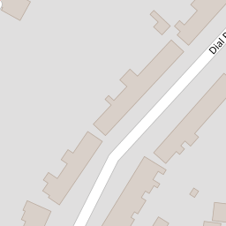
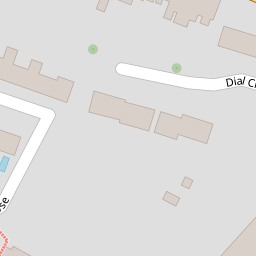

Leaflet © OpenStreetMap contributors
The heatmap indicates the level of crime in the area. The color of the heatmap indicates the crime severity and recency.
Metrics Year-on-Year
- Average area value
- 243,721.00 £Increased by 0.20 %
- Average area rental value
- 1,192.00 £/moDecreased by 6.95 %
- Est rental Yield
- 5.87 %Decreased by 7.12 %
- Crime Rate
- 6.00 %Unchanged by 0.00 %
from 243,234.00 £
from 1,281.00 £/mo
from 6.32 %
from 6.00 %
Nearby Schools
| Name | Type | Ofsted | Distance |
|---|---|---|---|
| Woodlands Primary School | Academy Converter | Good | 1.02 KM |
| The Gfc School | Other Independent School | Good | 1.05 KM |
| Academy Of Woodlands Children'S Centre | Children's Centre | 1.06 KM | |
| Saxon Way Primary School | Academy Sponsor Led | Good | 1.10 KM |
| Saxon Way Primary School And Children'S Centre | Children's Centre | 1.10 KM |
Images
Nearby Streets
| Name | Average Price | Average Sqft | Distance |
|---|---|---|---|
| GB38 | £ 0 | 0 | 0.00 KM |
| Woodlands Road | £ 0 | 0 | 0.00 KM |
| Cornwallis Avenue | £ 290,000 | 0 | 0.00 KM |
| Redfern Avenue | £ 300,000 | 0 | 0.00 KM |
| Toronto Road | £ 0 | 0 | 0.00 KM |
Nearby Transport
| Name | NLC | TLC | Distance |
|---|---|---|---|
| Gillingham (Kent) | 5169 | GLM | 2.19 KM |
| Rainham (Kent) | 5177 | RAI | 5.36 KM |
| Chatham | 5199 | CTM | 5.44 KM |
| Rochester | 5203 | RTR | 6.55 KM |
| Strood (Kent) | 5191 | SOO | 7.68 KM |
Nearby Listings
| Address | Price | Type | Score | Distance |
|---|---|---|---|---|
| Dial Road, Gillingham, Kent, ME7 | £ 290,000 | BUY | Unknown | 0.01 KM |
| Dial Road, Gillingham, Kent, ME7 | £ 260,000 | BUY | 5 / 10 | 0.02 KM |
| Hewitt Close, Gillingham, Kent, ME7 | £ 220,000 | BUY | 6 / 10 | 0.11 KM |
| Grange Road, Gillingham ME7 2QT | £ 375,000 | BUY | Unknown | 0.11 KM |
| Eastern Road, Gillingham, Kent. ME7 | £ 450,000 | BUY | Unknown | 0.11 KM |
Nearby Properties
| Address | Price | Distance |
|---|---|---|
| 14 Dial Road | £ 103,000 | 0.00 KM |
| 32 Dial Road | £ 136,500 | 0.00 KM |
| 57 Dial Road | £ 57,000 | 0.00 KM |
| 42 Dial Road | £ 149,995 | 0.00 KM |
| 50 Dial Road | £ 187,000 | 0.00 KM |